Hydrographic surveying
Need survey support offshore or along the coast?
- Field acquisition support for MBES and geophysical survey
- Positioning for pipeline and structure installation
- Field checks and survey reporting
- Survey logs
- Field QC
- Reports
Hydrographic Surveyor Data Processor GIS Engineer
IHO Category B hydrographic surveyor. I turn raw survey data into charts, IOGP SSDM deliverables and maps that teams can rely on.
 CARIS HIPS & SIPS
 AutoCAD Map + AutoChart
 Global Mapper
 QGIS
 ArcGIS Pro
 Python
Four hydrographic services, from the vessel to the final sheet, and a GIS line for decisions on land.
Need survey support offshore or along the coast?
Need bathymetry your project can rely on?
Does your client want delivery in SSDM?
Need charts that are ready for the client?
Need a location question answered with data?
Site suitability, catchments and competitor analysis for new branches.
Land cover change, vulnerability and erosion mapping from open and satellite data.
Web maps, geocoding and clean datasets your team can open and use.
The Seabed Survey Data Model is IOGP's GIS data model for delivering seabed survey results. It replaces loose CAD files with structured features that load into the client's GIS.
I process survey data and package it to SSDM: features, attributes and metadata, checked against the project specification.
Client data is confidential. Samples are sanitised or shown with client permission.
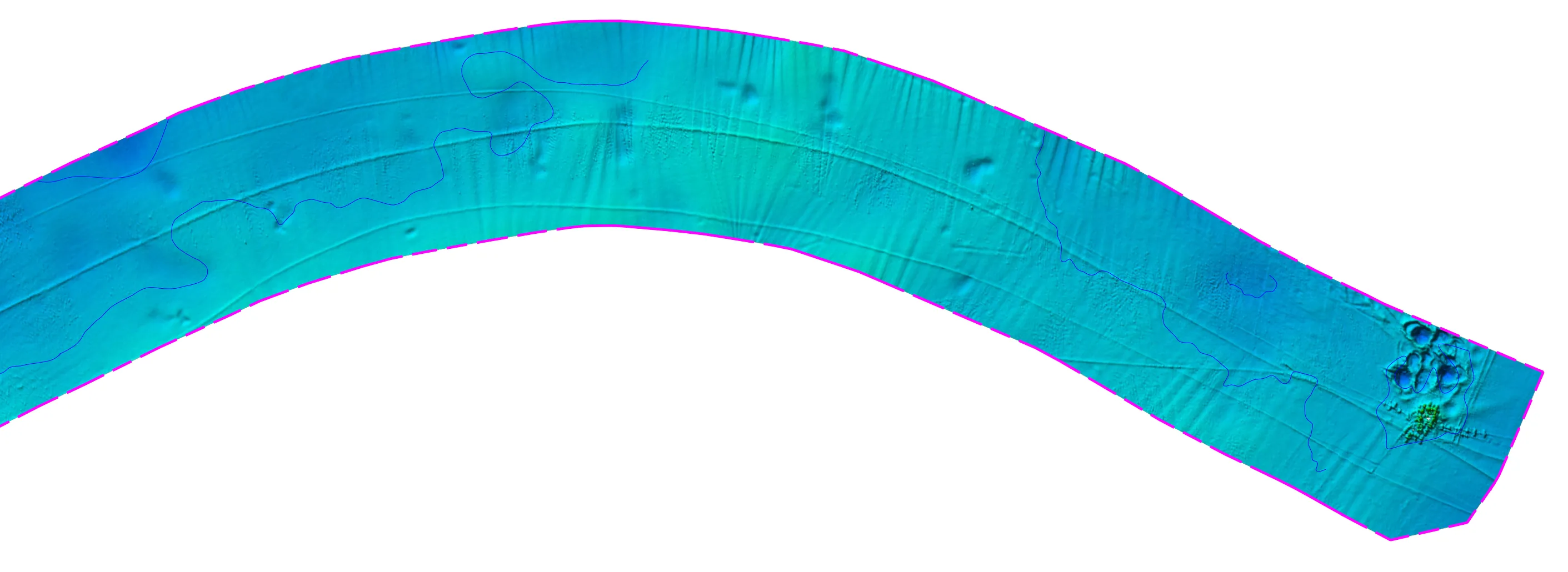
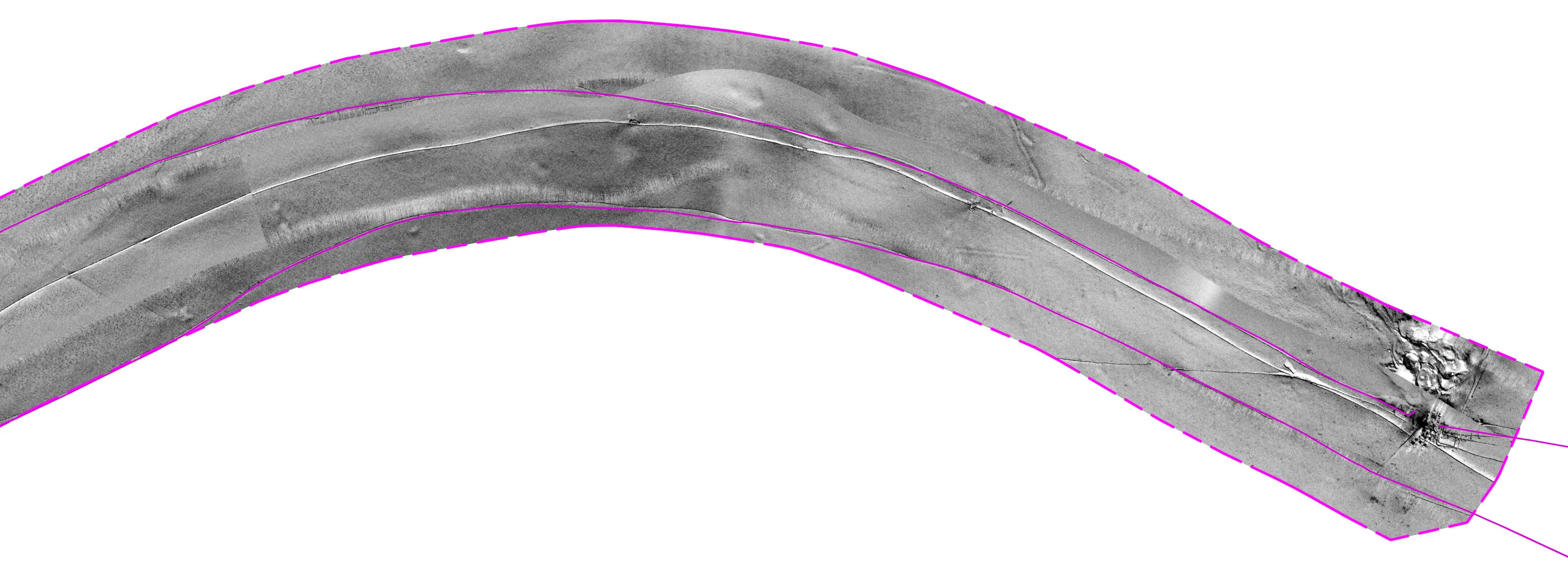
A geophysical pipeline inspection survey offshore Indonesia. Each sheet combines bathymetry, a sonar mosaic with interpreted features and a longitudinal profile.
Data processing and chart production: MBES surface, feature compilation and the alignment sheet layout.
Alignment charts as DWG and PDF. Names, coordinates, IDs and the title block are removed here.
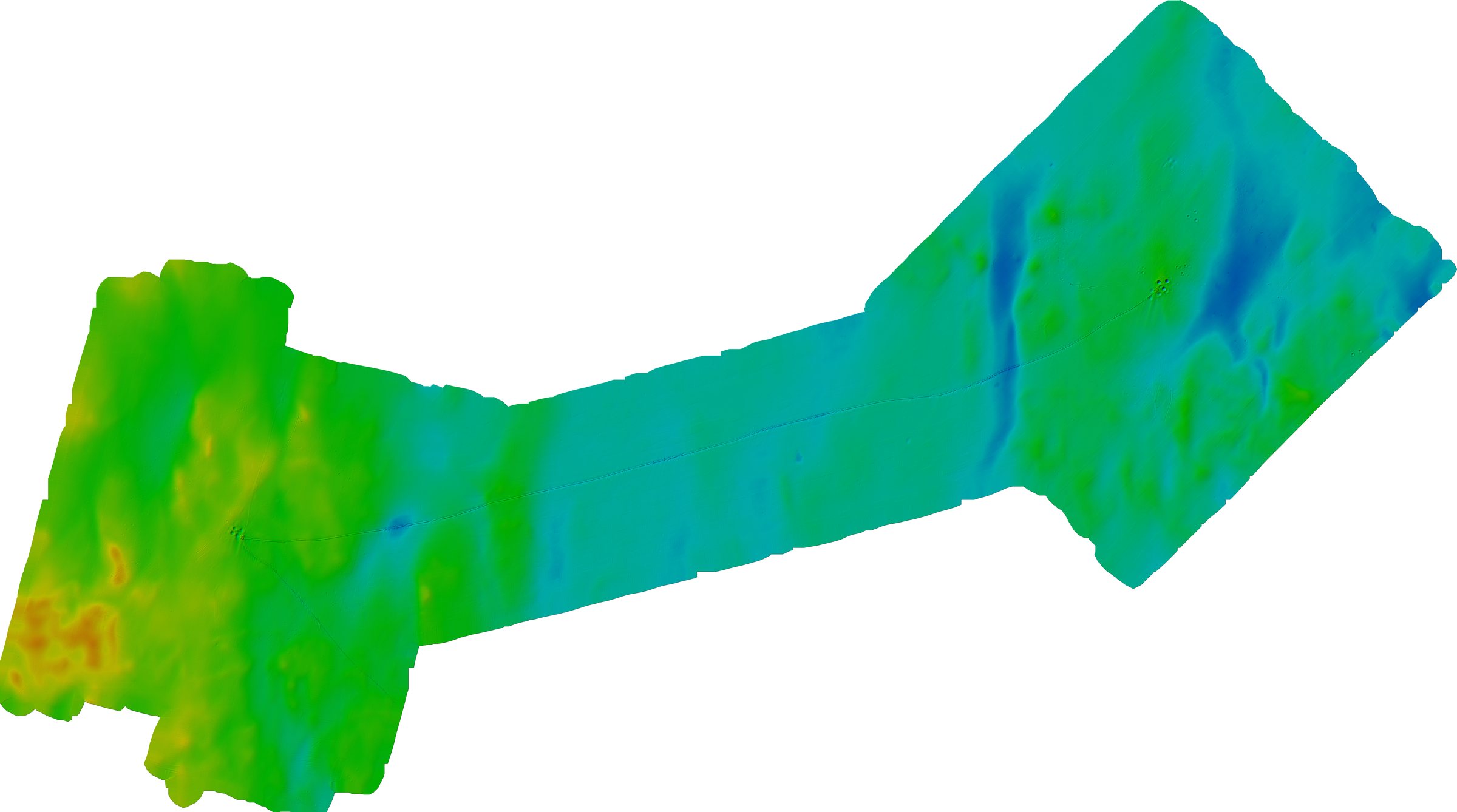
Cleaned multibeam surface gridded at 1 m, with depth shown in colour and hillshade.
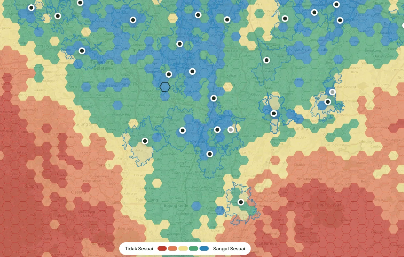
Hexagon scoring of population, competitors and access for a multi-branch clinic network.
Five studies from my GIS portfolio. Select a map to enlarge it.
The same five steps on every job, whether it is a multibeam dataset or a site study.
Objectives, specification, data and expected deliverables.
Data needs, tools, checks and milestones.
Survey processing or GIS analysis.
Consistency, completeness and requirements.
Agreed outputs, documentation and handover.
CARIS HIPS & SIPSCleaning, corrections and surfaces
AutoCAD Map + AutoChartBathymetric, alignment and anomaly charts
IOGP SSDMStructuring and checking deliverables
Global Mapper, MS Access, ExcelGrids, conversion and survey databases
QGIS, ArcGIS Pro, ArcGIS OnlineAnalysis, cartography and web maps
Python, Google Apps Script, AutoCAD scriptingTools for repeat processing and drafting tasks
IHO S-5B standard of competence, covering positioning and geophysical survey.
Institut Teknologi Bandung, 2023.
I'm a hydrographic surveyor and data processor based between Bandung and Jakarta. My work links field acquisition to deliverables a client can use.
That means clean bathymetry, consistent charts and structured data. Alongside survey work I take on GIS projects, from site selection for growing businesses to environmental mapping.
I value a clear scope, checked data and plain communication with the project team.
Share a few lines about the survey or geospatial work you need. A full scope is not required to start.